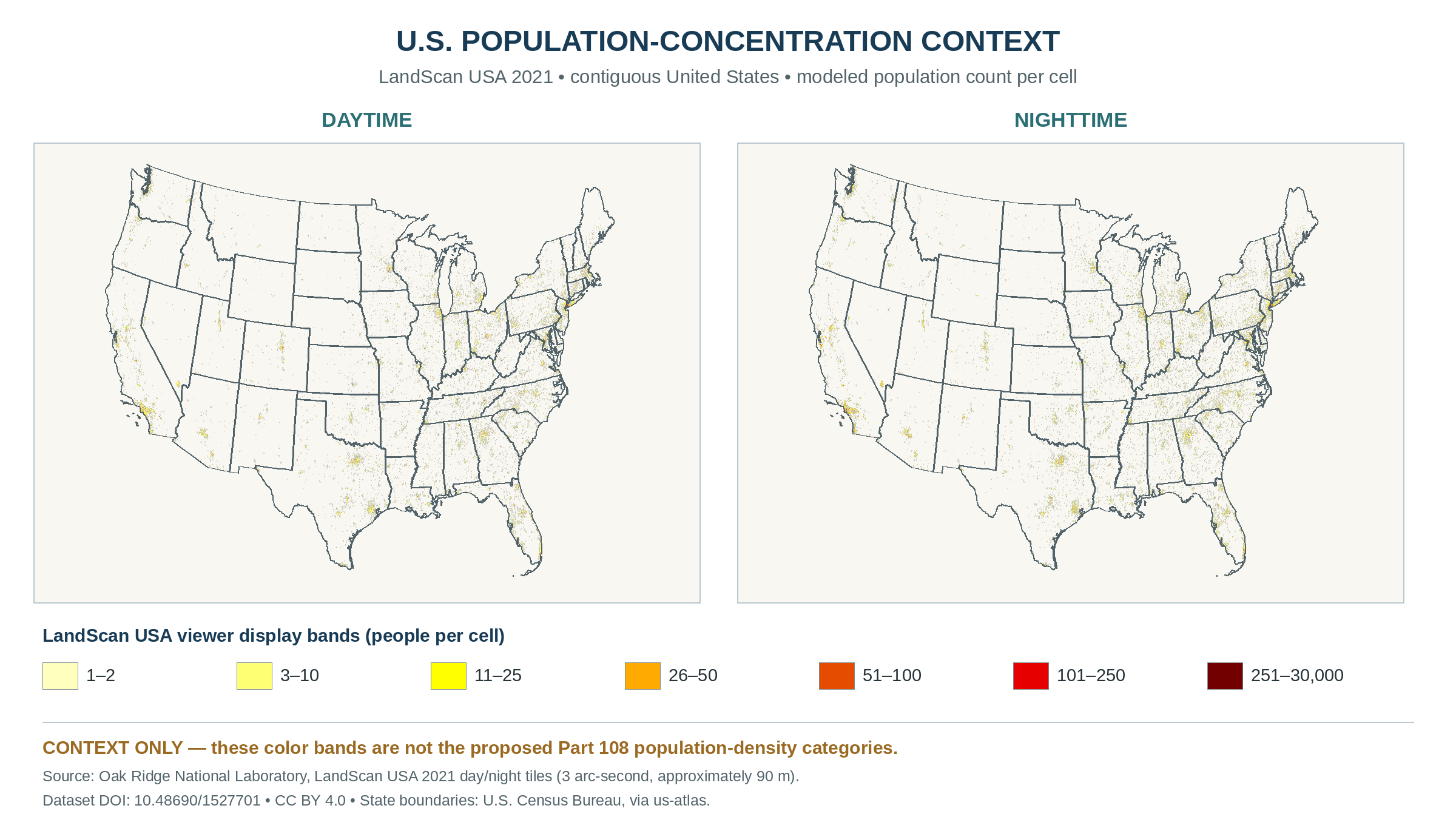
How the proposed categories work
The FAA proposes calculating the categories from the relevant day or night LandScan USA data as of August 1 each year. The highest category over which the flight operates would determine the applicable requirements. Proposed § 108.185(c)
| Category | How the proposal assigns it |
|---|---|
| 1 | Farther than 1 statute mile from every cell with 10 or more people |
| 2 | Within 1 statute mile of a cell with 10 or more people, if no higher category applies |
| 3 | Within 1 statute mile of a cell with 25 or more people, if no higher category applies |
| 4 | Within half a statute mile of a cell with 100 or more people, if Category 5 does not apply |
| 5 | Within half a statute mile of a cell with 2,500 or more people |
Example. Imagine a route that passes a shopping center. A daytime cell with at least 100 people within half a statute mile would trigger Category 4 at that point, unless a qualifying Category 5 cell also applies. The nighttime dataset could give the same point a different category. Proposed § 108.185(c)(4)–(5)
FAQ
Why does the FAA propose five categories? The FAA’s preamble explains that more people below an operation can increase exposure to a crash. The categories would allow the FAA to increase mitigations as that exposure rises. FAA proposal, preamble section VI.H
How should I read this map? Its colors illustrate estimated people per cell in the 2021 dataset. A proposed category determination would use the applicable dataset and distances from qualifying cells. Proposed § 108.185(c)
Part 108 ground-risk overview · Proposed delivery example
Reviewed